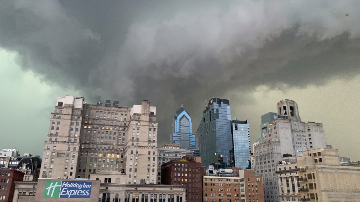
Philadelphia on red alert as major flooding expected from today onward

Following a weekend of precipitation in the form of excessive rainfall or snowfall, the Philadelphia region will encounter a renewed weather threat in the form of a potential flooding event. Strong winds and significant rainfall are anticipated to impact the area from Tuesday evening through Wednesday morning.
Recent snowfall accumulations exceeding five inches in the Lehigh Valley and approaching one foot in the Poconos are expected to melt rapidly due to a combination of warm temperatures and persistent rain. This rapid snowmelt, coupled with anticipated heavy rainfall, raises concerns about widespread flooding.
Tuesday will see an increase in atmospheric moisture and cloud cover, with temperatures soaring into the mid-50s. This warm airmass will serve as a catalyst for the approaching storm system, originating from the south, to deliver substantial precipitation in the form of heavy rain instead of snow. Potential rainfall totals of two to four inches are forecast across the region, accompanied by potentially damaging winds reaching speeds of 45 to 55 miles per hour.
The most severe wind impacts are anticipated along the coastline, particularly at shore points. Travel disruptions at Philadelphia International Airport are a possibility, and the storm poses a risk of power outages, downed trees, and coastal flooding. Precipitous activity is expected to cease by Wednesday morning, with potential sunshine returning later in the afternoon.